NDVI False Color
You can jump to the Remote Sensing Section of our online store by clicking here.
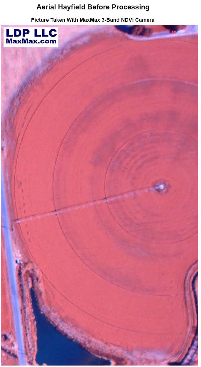
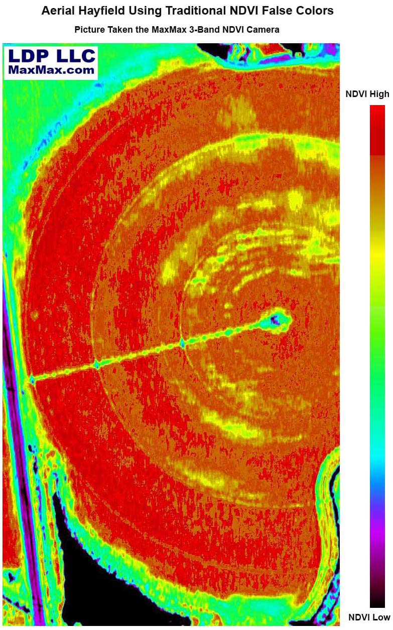
The images acquired from our NDVI cameras are typically processed to create a false color image representation of vegetation index values. While the unprocessed picture will give the user some information if they know what to look for, they will be able to see information much better once the camera image has been converted to another format.
Customers of our remote sensing cameras can buy our Remote Sensing Explorer for a discounted price. RSE is included with our 5-band systems. A wide variety of software packages are also compatible with our cameras including Pix4D, ENVI, Regent's Wincam and Agpixel. The software looks at each pixel Red, Green, Blue value and using the values, calculates a vegetation index for that particular pixel. Typically, the vegetation index value will be a number between +1 and -1. Depending on the value of the number, a particular color is assigned to that pixel. Each pixel in the original picture is evaluated and assigned a color. The process of assigning colors depending on the value is called False Color Mapping. The colors assigned can be anything you want as long as you know what the colors mean.
RSE can use a variety of false color maps, but the most common ones are using the traditional NDVI color mapping where red represents the healthiest plants and the modern one showing healthy plants as green.
Traditional NDVI Scale Modern LDP NDVI Scale
High NDVI Values


Low NDVI Values
We think it is a bit more intuitive to think of high NDVI values as the brightest green since those are typically the healthiest plants, but some may prefer the older method of mapping the highest NDVI values to red. The traditional mapping of high NDVI values to red comes from the long discontinued Kodak Aerochrome Color Infrared film that was originally developed by the U.S. military in the 1940's for camouflage detection.
Here is a picture show as it looks coming from our 3-Band NDVI camera.


