Examples
You can jump to the Remote Sensing Section of our online store by clicking here.
We have many pictures showing the results of these cameras. To see more about how these cameras work, please check the links on the left.
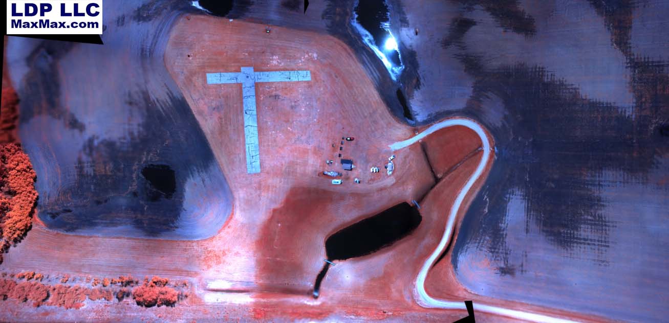
Aerial view of farmland with airport landing strip
Picture as it comes from the camera before processing
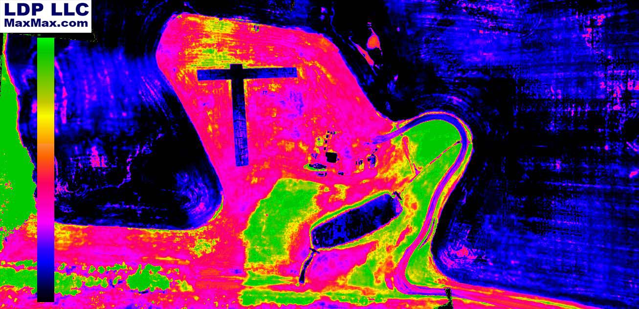
Processed picture using traditional NDVI false color mapping where highest NDVI values are red.
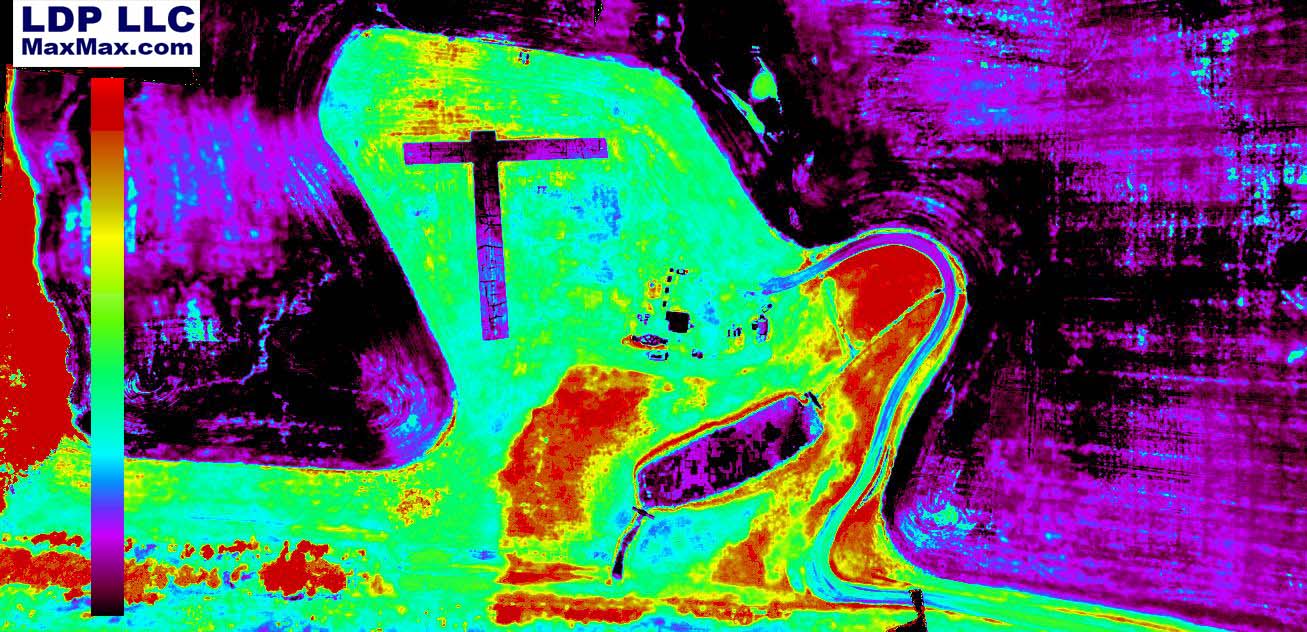
Processed picture using modern NDVI false color mapping where highest NDVI values are green.
Watch Kansas State University Agronomy Department tests a UAV with our remote sensing camera.